
Country India Seat Wokha ISO 3166 code IN-NL-WO Area 1,628 km² | State Nagaland Time zone IST (UTC+05:30) Population 166,239 (2011) | |
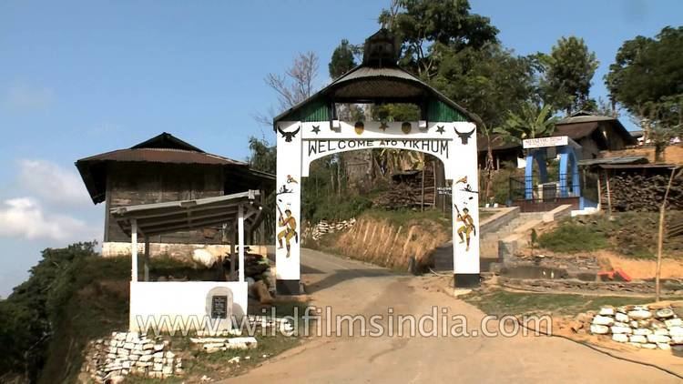 | ||
Traditional naga gate at yikhum village wokha district
Wokha (Pron:/ˈwəʊkə/) is a district of Nagaland state in India.
Contents
- Traditional naga gate at yikhum village wokha district
- Map of Wokha Nagaland
- Doyang hydroelectric power station in wokha district nagaland
- Geography
- Economy
- Demographics
- References
Map of Wokha, Nagaland
Doyang hydroelectric power station in wokha district nagaland
Geography
It covers an area of 1,628 km². Its capital is the town of Wokha.
Economy
It is one of the three districts in Nagaland currently receiving funds from the Backward Regions Grant Fund Programme (BRGF).
Demographics
According to the 2011 census Wokha district has a population of 166,239, roughly equal to the nation of Saint Lucia. This gives it a ranking of 595th in India (out of a total of 640). Wokha has a sex ratio of 969 females for every 1000 males, and a literacy rate of 87.6%.
References
Wokha district Wikipedia(Text) CC BY-SA