
Admin. region Gießen Elevation 240 m (790 ft) Area 30.66 km² Population 2,397 (30 Jun 2009) Administrative region Giessen | District Marburg-Biedenkopf Time zone CET/CEST (UTC+1/+2) Local time Wednesday 1:42 AM Postal code 35288 Dialling codes 06453 und 06425 | |
 | ||
Weather 6°C, Wind NW at 8 km/h, 79% Humidity | ||
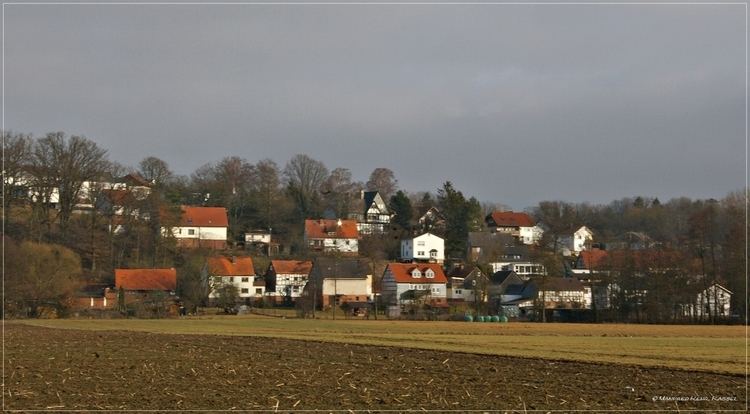
Wohratal is a community in Marburg-Biedenkopf district in Hesse, Germany.
Contents
- Map of 35288 Wohratal Germany
- Geography
- Neighbouring municipalities
- Constituent communities
- Politics
- References
Map of 35288 Wohratal, Germany
Geography
Wohratal lies between the Kellerwald (forest) in the east and the Burgwald, a low mountain range, in the west, on the river Wohra.
Among the bigger neighbouring centres are the towns of Frankenberg an der Eder to the northwest and Kirchhain to the south.
Neighbouring municipalities
In the north, Wohratal borders on the towns of Rosenthal and Gemünden, both in Waldeck-Frankenberg district, in the east on the community of Gilserberg in Schwalm-Eder district, and on Rauschenberg, also in Marburg-Biedenkopf district, in the south and west.
Constituent communities
The community consists of four centres: Wohra, Hertingshausen, Halsdorf and Langendorf.
Politics
As of the municipal elections on 26 March 2006, the seats on Wohratal's council are apportioned thus: