
- location southeast of Bombala - elevation 77 m (253 ft) | - elevation 1,030 m (3,379 ft) | |
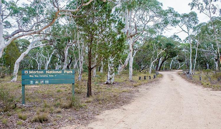 | ||
- right Wog Wog Creek, Letts Creek - location South East Forest National Park | ||
The Wog Wog River is a perennial river of the Towamba River catchment, located in the South Coast region of New South Wales, Australia.
Contents
Map of Wog Wog River, New South Wales, Australia
Course and features
The Wog Wog River rises below White Rock Mountain, south southeast of Bombala and flows generally south southeast, northeast, and then east, joined by two minor tributaries before reaching its confluence with the Towamba River in remote country within South East Forest National Park. The river descends 949 metres (3,114 ft) over its 34 kilometres (21 mi) course.
References
Wog Wog River Wikipedia(Text) CC BY-SA