
Area 6.16 km² Population 3,448 (8 Mar 1999) | Canton Longuenesse Time zone CET (UTC+1) Local time Wednesday 12:49 AM | |
 | ||
Weather 9°C, Wind N at 13 km/h, 92% Humidity | ||
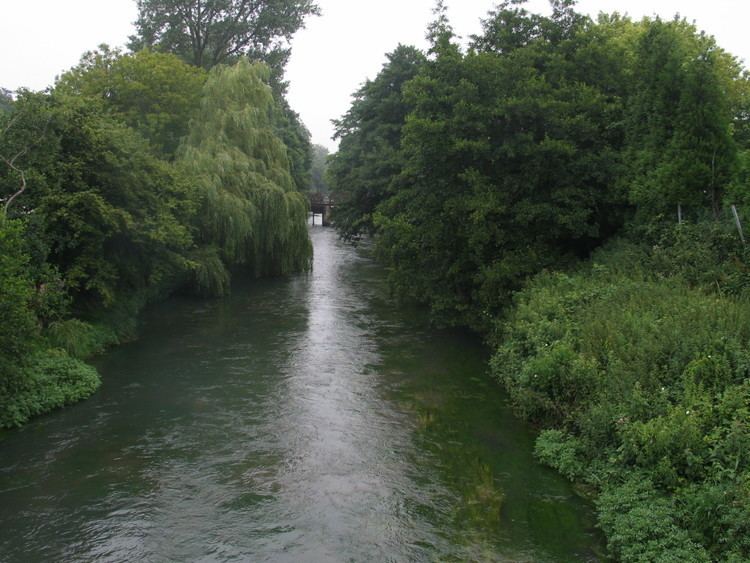
Wizernes is a northern French commune 4 miles (6.4 km) southwest of Saint-Omer on the banks of the river Aa at the D928 and D211 road junction. The commune is subdivided into townships. and is twinned with Ensdorf, Saarland, Germany.
Contents
Map of 62570 Wizernes, France
History
The village was named "Weserinium" in 844 and was damaged by the Allies of World War II during Operation Crossbow bombings of La Coupole.
Places of interest
References
Wizernes Wikipedia(Text) CC BY-SA