
- elevation 1,485 ft (453 m) Basin area 53.87 km² | - elevation 591 ft (180 m) | |
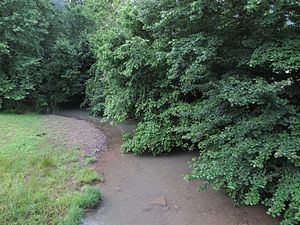 | ||
Witcher Creek is a tributary of the Kanawha River, 6.8 miles (10.9 km) long, in West Virginia in the United States. Via the Kanawha and Ohio rivers, it is part of the watershed of the Mississippi River, draining an area of 20.8 square miles (54 km2) on the unglaciated portion of the Allegheny Plateau.
Map of Witcher Creek, Chesapeake, WV, USA
Witcher Creek flows for its entire length in eastern Kanawha County. It rises approximately 1.7 miles (2.7 km) west-northwest of Mammoth and flows southwestward through the unincorporated community of Witcher. It flows into the Kanawha River approximately 0.7 miles (1.1 km) southwest of Witcher, between the town of Belle and the unincorporated community of Diamond. The creek is paralleled by a county road for much of its course.
According to the Geographic Names Information System, Witcher Creek has also been known historically by the variant name “Witchers Creek.”