
Canton Desvres Area 12.48 km² | Intercommunality Desvres Samer Local time Tuesday 6:49 PM | |
 | ||
Weather 11°C, Wind NW at 10 km/h, 89% Humidity | ||
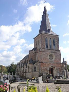
Wirwignes is a commune in the Pas-de-Calais department in the Hauts-de-France region of France.
Contents
Map of 62240 Wirwignes, France
Geography
Wirwignes is situated some 8 miles (13 km) southeast of Boulogne, at the junction of the D238 and the D341 roads, on the banks of the river Liane.
Places of interest
References
Wirwignes Wikipedia(Text) CC BY-SA