
Maintained by the City of Edmonton North end under construction | Length 20.8 km Location Edmonton | |
 | ||
Major
junctions Alberta Highway 627, Whitemud Drive, Stony Plain Road, Yellowhead Trail South end City Limits (Howard Road (Township Road 512A/33 Avenue SW)) | ||
1579 winterburn road hit and run
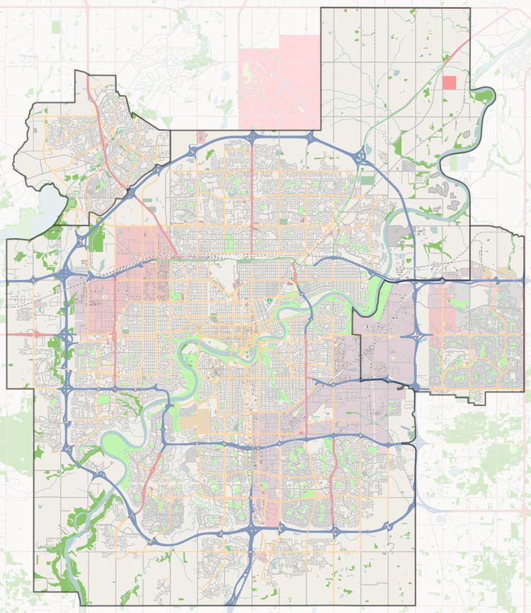
Winterburn Road is a major arterial road in west Edmonton, Alberta, Canada. It is a rural grid road that earned the name 215 Street when Edmonton expanded this far to the west.
Contents
- 1579 winterburn road hit and run
- Double wide mobile home for sale 3034 10770 winterburn road edmonton e3385824
- Neighbourhoods
- Interchanges and intersections
- References
The boundary between the City of Edmonton and Parkland County runs on the west side of the right of way from Howard Road (33 Avenue SW) to Highway 627 (23 Avenue NW), and between the CIty of Edmonton and Stony Plain I.R. 135 from Highway 627 (23 Avenue NW) to Whitemud Drive (formally 79 Avenue). It has seen recent development as residential subdivisions have been created west of 199 Street, and future intersections will be constructed.
Double wide mobile home for sale 3034 10770 winterburn road edmonton e3385824
Neighbourhoods
List of neighbourhoods Winterburn Road runs through, in order from south to north.
Interchanges and intersections
This is a list of major intersections, starting at the south end of Winterburn Road (215 Street).