
Country United States GNIS feature ID 509926 Local time Tuesday 7:22 AM | Time zone Eastern (EST) (UTC-5) Elevation 256 m | |
 | ||
Weather 16°C, Wind SW at 16 km/h, 79% Humidity | ||
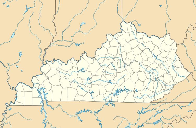
Winifred is an unincorporated community in Johnson County, Kentucky, United States. It is located at an elevation of 840 feet (256 m). Winifred is located in the ZIP Code Tabulation Area for ZIP code 41219, which includes the nearby community of Flat Gap.
Map of Winifred, KY 41255, USA
References
Winifred, Kentucky Wikipedia(Text) CC BY-SA