
Country United States Elevation 417 m Local time Tuesday 5:46 AM | GNIS feature ID 0476722 Area 123.3 km² Population 139 (2000) | |
 | ||
Weather 7°C, Wind N at 16 km/h, 77% Humidity | ||
Wingfield Township is a township in Geary County, Kansas, USA. As of the 2000 census, its population was 139.
Contents
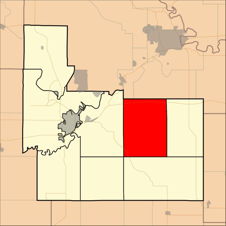
Map of Wingfield, KS, USA
Geography
Wingfield Township covers an area of 47.61 square miles (123.3 km2) and contains no incorporated settlements. According to the USGS, it contains two cemeteries: Humboldt and Saint Marys.
The streams of East McDowell Creek, MacArthur Branch, Pressee Branch, Swede Creek, Thierer Branch and West McDowell Creek run through this township.
References
Wingfield Township, Geary County, Kansas Wikipedia(Text) CC BY-SA