
Local time Tuesday 5:27 AM | ||
 | ||
Weather 13°C, Wind S at 2 km/h, 100% Humidity | ||
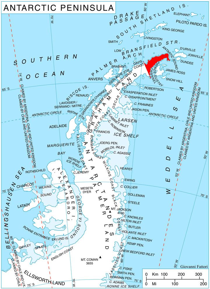
Windy Gap (63°34′S 58°9′W) is a pass 975 m high, located at the northeast end of Louis Philippe Plateau. It marks the meeting place of three valleys of Trinity Peninsula, namely Broad Valley leading eastward toward Duse Bay, that of Sestrimo Glacier leading northward to Lafond Bay, and another southward to Prince Gustav Channel. Discovered by the Falkland Islands Dependencies Survey (FIDS) and so named because of the very bad weather experienced in the pass during a survey journey in April 1946.
Contents
Map of Windy Gap, NC 27020, USA
Map
This article incorporates public domain material from the United States Geological Survey document "Windy Gap" (content from the Geographic Names Information System).
References
Windy Gap Wikipedia(Text) CC BY-SA