
Country United States Time zone CST (UTC-6) Zip code 55418 | City Minneapolis Area 154 ha Population 5,678 (2010) Area code 612 | |
 | ||
Restaurants Que Viet Village House, The Mill Northeast, Marino's Deli, Bonicelli Kitchen, Crescent Moon Bakery | ||
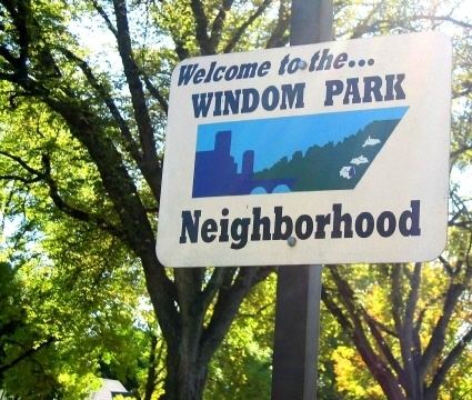
Windom Park is a neighborhood in the Northeast community in Minneapolis. Its boundaries are Lowry Avenue NE to the north, New Brighton Boulevard to the east, 18th Avenue NE to the south, and Central Avenue to the west.
Map of Windom Park, Minneapolis, MN 55418, USA
The neighborhood's housing stock is split evenly between owned properties and rental properties. In 2006, the average home sale price in Windom Park was $240,500. In the west part of the neighborhood, houses were mostly built between 1895 and 1910. On the east side, most houses were built after World War II.
The rental property is primarily concentrated in a complex of apartments between Ulysses and Arthur Street south of 19th Avenue. Additional rental property is scattered throughout the neighborhood. Greater amounts of rental property exist west of Johnson than on the east side of the neighborhood.