
Country United States County Greene FIPS code 36-82480 Elevation 577 m Population 1,703 (2010) Area code 518 | State New York Time zone Eastern (EST) (UTC-5) GNIS feature ID 0979648 Zip code 12496 Local time Tuesday 2:47 AM | |
 | ||
Weather 6°C, Wind SE at 11 km/h, 83% Humidity Area 117.6 km² (117.3 km² Land / 26 ha Water) | ||
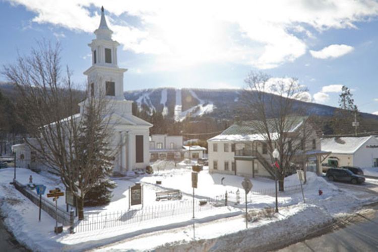
Windham is a town in Greene County, New York, United States. The population was 1,703 at the 2010 census. The town was probably named for the town or county of Windham, Connecticut, as many of its earliest settlers came from that state as well as other parts of New England. The town has two nicknames: "Land in the Sky" and "Gem of the Catskills".
Contents
- Map of Windham NY 12496 USA
- History
- Geography
- Demographics
- Communities and locations in the Town of Windham
- References
Map of Windham, NY 12496, USA
Windham is in the west-central part of the county on the northern boundary of the Catskill Park.
History
The region was first settled around 1780. The town was formed from the town of Woodstock in 1798 while still part of Ulster County. After the formation of Greene County, several other towns were formed from parts of Windham. These towns include Hunter and Lexington (1813), Prattsville (1833), and part of Ashland in 1848. In 1900, the town's population was 1,240.
The major source of income in Windham is the Windham Mountain ski resort, formerly called "Ski Windham". This ski area brings a lot of its skiers up from the New York City area as well as other areas in the Northeast. In August 2010, Windham hosted the 2010 World Cup Mountain Bike Race, the first time its finals occurred on American soil in 20 years of competition. In August 2014, Windham again hosted the World Cup Mountain Bike Race, as the only US stop of the UCI Mountain Bike World Cup.
In August 2011, Hurricane Irene dumped more than 10 inches of rain into the Batavia Kill creek in just a matter of a couple of hours in a devastating flood.
Geography
According to the United States Census Bureau, the town has a total area of 45.4 square miles (117.6 km²), of which 45.3 square miles (117.3 km²) is land and 0.1 square miles (0.3 km², or 0.22%) is water.
The town is in the Catskill Mountains and partly within the Catskill State Park. Batavia Kill, a tributary of Schoharie Creek, flows to the west through Windham.
Demographics
As of the census of 2000, there were 1,660 people, 720 households, and 450 families residing in the town. The population density was 36.7 people per square mile (14.2/km²). There were 2,002 housing units at an average density of 44.2 per square mile (17.1/km²). The racial makeup of the town was 98.13% White, 0.36% Black or African American, 0.42% Native American, 0.06% Asian, 0.42% from other races, and 0.60% from two or more races. Hispanic or Latino of any race were 1.75% of the population.
There were 720 households out of which 26.5% had children under the age of 18 living with them, 50.8% were married couples living together, 9.2% had a female householder with no husband present, and 37.4% were non-families. 32.1% of all households were made up of individuals and 13.5% had someone living alone who was 65 years of age or older. The average household size was 2.31 and the average family size was 2.94.
In the town, the population was spread out with 23.5% under the age of 18, 4.9% from 18 to 24, 23.1% from 25 to 44, 29.2% from 45 to 64, and 19.3% who were 65 years of age or older. The median age was 44 years. For every 100 females there were 92.1 males. For every 100 females age 18 and over, there were 92.7 males.
The median income for a household in the town was $36,010, and the median income for a family was $42,961. Males had a median income of $31,726 versus $23,125 for females. The per capita income for the town was $22,344. About 6.8% of families and 9.3% of the population were below the poverty line, including 5.8% of those under age 18 and 7.9% of those age 65 or over.