
Primary inflows Average depth 15 ft (4.6 m) Mean depth 67 m Basin countries Canada | Inflow source Columbia River Outflow location Columbia River | |
 | ||
Cities Invermere, Windermere, British Columbia | ||
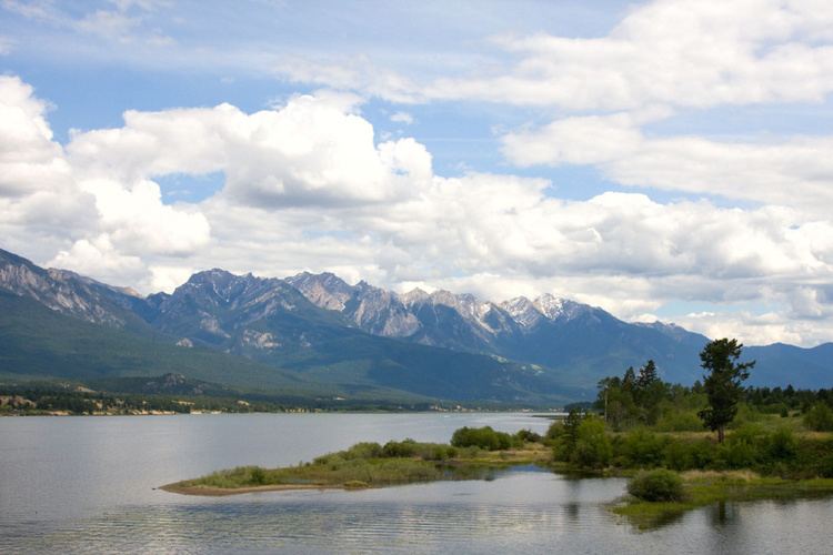
Lake Windermere is a very large widening in the Columbia River. The village of Windermere is located on the east side of the lake, and the larger town of Invermere is located on the lake's northwestern corner. The average depth of the lake is only 15 feet (4.5 meters).
Map of Windermere Lake, British Columbia, Canada
Lake Windermere is a very popular vacationing spot, especially for residents of Calgary, which is a 3-hour car drive to the east. The western side of the lake which fronts the Purcell Mountains has a railroad running along its shore, and as a result, housing and recreational development is minimal there. The eastern side of the lake has a more extensive flatland between the lake and the Rocky Mountains and has experienced considerable development including cottages, camping grounds, recreational beaches, golf courses and various tourist attractions.
Windermere Lake was once known as Lower Columbia Lake, and will be seen as such on older maps of the area.