
Country United States FIPS code 29-80314 Elevation 190 m Local time Tuesday 12:36 AM | Time zone Central (CST) (UTC-6) GNIS feature ID 0756912 Area 65 ha Population 1,546 (2013) | |
 | ||
Weather 13°C, Wind W at 19 km/h, 88% Humidity | ||
Winchester is a city in St. Louis County, Missouri, United States. The population was 1,547 at the 2010 census.
Contents
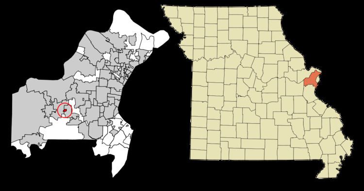
Map of Winchester, MO, USA
Geography
Winchester is located at 38°35′24″N 90°31′33″W (38.590003, -90.525756).
According to the United States Census Bureau, the city has a total area of 0.25 square miles (0.65 km2), all of it land.
2010 census
As of the census of 2010, there were 1,547 people, 596 households, and 386 families residing in the city. The population density was 6,188.0 inhabitants per square mile (2,389.2/km2). There were 608 housing units at an average density of 2,432.0 per square mile (939.0/km2). The racial makeup of the city was 92.6% White, 1.2% African American, 0.5% Native American, 1.4% Asian, 0.1% Pacific Islander, 1.6% from other races, and 2.7% from two or more races. Hispanic or Latino of any race were 4.4% of the population.
There were 596 households of which 31.7% had children under the age of 18 living with them, 44.6% were married couples living together, 13.1% had a female householder with no husband present, 7.0% had a male householder with no wife present, and 35.2% were non-families. 29.2% of all households were made up of individuals and 9.7% had someone living alone who was 65 years of age or older. The average household size was 2.44 and the average family size was 3.02.
The median age in the city was 36.8 years. 22% of residents were under the age of 18; 7.3% were between the ages of 18 and 24; 32.5% were from 25 to 44; 22.1% were from 45 to 64; and 16.2% were 65 years of age or older. The gender makeup of the city was 47.8% male and 52.2% female.
2000 census
As of the census of 2000, there were 1,651 people, 599 households, and 425 families residing in the city. The population density was 6,723.0 people per square mile (2,549.8/km²). There were 607 housing units at an average density of 2,471.7 per square mile (937.5/km²). The racial makeup of the city was 95.88% White, 1.27% African American, 0.36% Native American, 0.97% Asian, 0.36% from other races, and 1.15% from two or more races. Hispanic or Latino of any race were 1.88% of the population.
There were 599 households out of which 36.7% had children under the age of 18 living with them, 52.4% were married couples living together, 14.4% had a female householder with no husband present, and 29.0% were non-families. 23.4% of all households were made up of individuals and 8.2% had someone living alone who was 65 years of age or older. The average household size was 2.58 and the average family size was 3.06.
In the city, the population was spread out with 24.8% under the age of 18, 6.4% from 18 to 24, 34.2% from 25 to 44, 19.3% from 45 to 64, and 15.4% who were 65 years of age or older. The median age was 36 years. For every 100 females there were 85.9 males. For every 100 females age 18 and over, there were 80.3 males.
The median income for a household in the city was $47,829, and the median income for a family was $51,071. Males had a median income of $35,735 versus $27,500 for females. The per capita income for the city was $18,920. About 4.2% of families and 4.0% of the population were below the poverty line, including 6.2% of those under age 18 and 5.6% of those age 65 or over.