
Topo map OS Landranger 184 Prominence 159 m | OS grid ST927209 Elevation 277 m | |
 | ||
Similar Whitesheet Hill, Long Knoll, Hod Hill, Melbury Hill, Bulbarrow Hill | ||
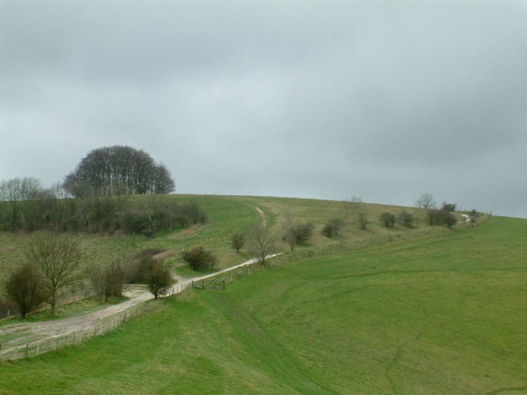
Win Green Down (277 metres (909 ft), grid reference ST927209) is a 26.0 hectare biological Site of Special Scientific Interest in Wiltshire, notified in 1971. The summit, Win Green, is at grid ST924205 and is the highest point of Cranborne Chase. There are extensive views, with Bournemouth, the Isle of Wight, Salisbury, and Glastonbury Tor, the Mendips, the Quantocks and Milk Hill all visible in clear conditions. It is classed as a Marilyn, and is a well-known landmark due to the clump of trees on the highpoint.
Map of Win Green, Salisbury, UK
References
Win Green Down Wikipedia(Text) CC BY-SA