
 | ||
Wimborne is a hamlet in southern Alberta, Canada within Kneehill County. It is located approximately 58 km (36 mi) southeast of Red Deer. It has an elevation of 975 m (3,199 ft).
Contents
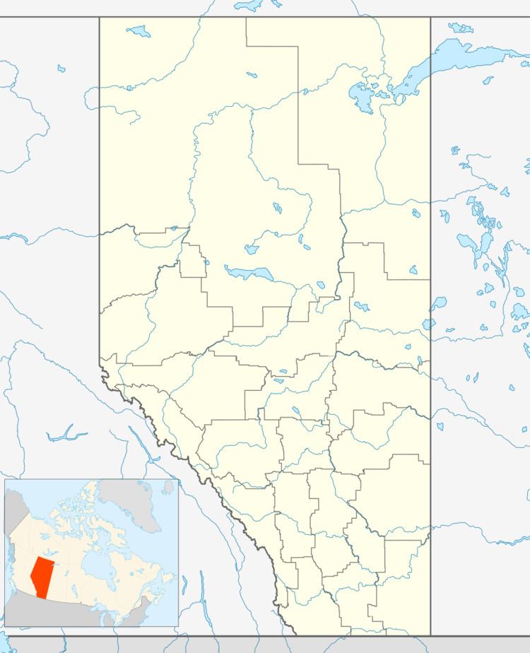
Map of Wimborne, AB, Canada
Demographics
As a designated place in the 2016 Census of Population conducted by Statistics Canada, Wimborne recorded a population of 20 living in 14 of its 14 total private dwellings, a change of −35.5% from its 2011 population of 31. With a land area of 0.16 km2 (0.062 sq mi), it had a population density of 125.0/km2 (323.7/sq mi) in 2016.
As a designated place in the 2011 Census, Wimborne had a population of 31 living in 17 of its 19 total dwellings, a 10.7% change from its 2006 population of 28. With a land area of 0.22 km2 (0.085 sq mi), it had a population density of 141/km2 (365/sq mi) in 2011.
Wimborne Days
An annual event that centers around the heritage of community building. Every year, the town and its community gathers to participate in events such as: lawnmower races, miniature golf, fireworks, BBQ and bouncy castle, along with other festivities. This event occurs on July 1 (a.k.a. Canada Day).