
Country United States FIPS code 36-82348 Elevation 220 m Population 6,427 (2010) Area code 315 | State New York Time zone Eastern (EST) (UTC-5) GNIS feature ID 0979645 Zip code 13619 Local time Monday 3:00 PM | |
 | ||
Weather 13°C, Wind SE at 11 km/h, 34% Humidity Area 205.9 km² (204.4 km² Land / 155 ha Water) | ||
Wilna is a town in Jefferson County, New York, United States. The population was 6,427 at the 2010 census.
Contents
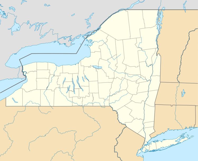
Map of Wilna, NY, USA
The Town of Wilna is in the eastern corner of the county and is east of Watertown.
History
The town was first settled around 1798 at the location of the future Carthage village.
The Town of Wilna was established in 1813 from part of the Town of Le Ray and part of the Lewis County Town of Leyden. The origin of the name of the town is obscure, although it is alleged to be named after the German spelling of Vilnius, in commemoration of the French occupation of Vilnius, Lithuania in 1812.
The Wood's Grist Mill was listed on the National Register of Historic Places in 1995.
Geography
According to the United States Census Bureau, the town has a total area of 79.6 square miles (206 km2), of which, 78.9 square miles (204 km2) of it is land and 0.6 square miles (1.6 km2) of it (0.79%) is water.
The Black River flows along the south part of the town. The Indian River is in the eastern part of Wilna.
Part of the town has been absorbed into the Fort Drum Military Reservation.
New York State Route 3 and New York State Route 3A are an east-west highways.
Demographics
As of the census of 2000, there were 6,235 people, 2,335 households, and 1,639 families residing in the town. The population density was 79.0 people per square mile (30.5/km²). There were 2,658 housing units at an average density of 33.7 per square mile (13.0/km²). The racial makeup of the town was 92.83% White, 2.92% African American, 0.72% Native American, 0.91% Asian, 0.03% Pacific Islander, 0.85% from other races, and 1.73% from two or more races. Hispanic or Latino of any race were 2.10% of the population.
There were 2,335 households out of which 35.6% had children under the age of 18 living with them, 53.4% were married couples living together, 12.6% had a female householder with no husband present, and 29.8% were non-families. 24.0% of all households were made up of individuals and 10.8% had someone living alone who was 65 years of age or older. The average household size was 2.61 and the average family size was 3.08.
In the town, the population was spread out with 28.1% under the age of 18, 8.2% from 18 to 24, 29.1% from 25 to 44, 21.6% from 45 to 64, and 13.0% who were 65 years of age or older. The median age was 35 years. For every 100 females there were 95.8 males. For every 100 females age 18 and over, there were 91.1 males.
The median income for a household in the town was $29,103, and the median income for a family was $35,022. Males had a median income of $29,119 versus $19,655 for females. The per capita income for the town was $13,556. About 15.7% of families and 20.4% of the population were below the poverty line, including 29.3% of those under age 18 and 10.6% of those age 65 or over.