Founded 1220 Time zone CET/CEST (UTC+1/+2) Area 7.16 km² | Elevation 43 m (141 ft) Vehicle registration B City Berlin | |
 | ||
Borough Charlottenburg-Wilmersdorf Postal codes (nr. 0402) 10707, 10709, 10711, 10713, 10715, 10717, 10719, 14197, 14199 | ||
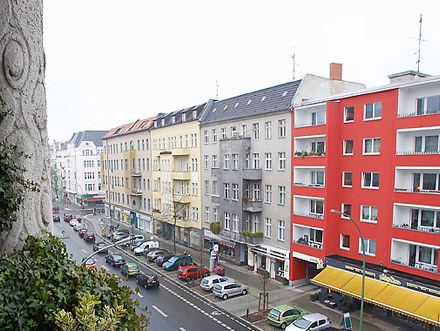
Wilmersdorf, an inner-city locality of Berlin, lies south-west of the central city. Formerly a borough by itself, Wilmersdorf became part of the new borough of Charlottenburg-Wilmersdorf in Berlin's 2001 administrative reform.
Contents
Map of Wilmersdorf, Berlin, Germany
History
The village near Berlin was first mentioned in 1293 as Wilmerstorff, probably founded in the course of the German Ostsiedlung under the Ascanian margraves of Brandenburg. From the 1850s on Deutsch-Wilmersdorf was developed as a densely settled, affluent residential area, which in 1920 became a part of Greater Berlin. The former borough of Wilmersdorf included the localities of Halensee, Schmargendorf and Grunewald.
Sights
Primary schools
Comenius-Schule, a primary school, is in Wilmersdorf.
Halensee-Grundschule, a primary school, is in Halensee, near Wilmersdorf.
Weekend schools
Zentrale Schule fur Japanisch Berlin e.V. (共益法人ベルリン中央学園補習授業校 Kyōeki Hōjin Berurin Chūō Gakuen Hoshū Jugyō Kō), a weekend Japanese supplementary school, is held at the - Established April 1997. The Japanische Ergänzungsschule in Berlin e.V. (ベルリン日本語補習授業校 Berurin Nihongo Hoshū Jugyō Kō), another weekend Japanese school, is held at Halensee-Grundschule.
