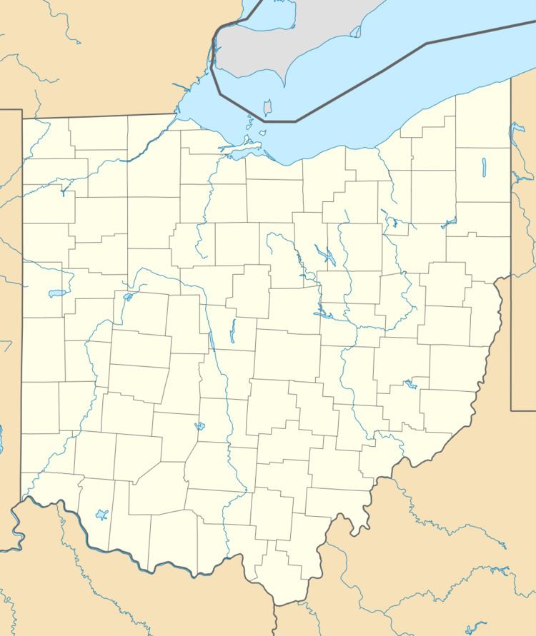
Country United States County Butler FIPS code 39-85344 Elevation 183 m Zip code 45011 Local time Monday 11:56 AM | State Ohio Time zone Eastern (EST) (UTC-5) GNIS feature ID 1049331 Area 45 ha Population 581 (2010) Area code 513 | |
 | ||
Weather 19°C, Wind SE at 14 km/h, 57% Humidity | ||
Williamsdale is a census-designated place (CDP) in St. Clair Township, Butler County, Ohio, United States. The population was 581 at the 2010 census.
Contents
Map of Williamsdale, OH 45011, USA
Geography
Williamsdale is located in the southern part of St. Clair Township, just north of the village of New Miami. It is in the valley of the Great Miami River but does not actually touch it.
U.S. Route 127 forms the western edge of the CDP, leading south into New Miami and thence into the city of Hamilton, and north to Eaton. The unincorporated community of Overpeck is directly to the northeast, along Hamilton Trenton Road.
According to the United States Census Bureau, Williamsdale has a total area of 0.17 square miles (0.45 km2), all land.
References
Williamsdale, Ohio Wikipedia(Text) CC BY-SA
