
- elevation 1 m (3 ft) | - elevation 747 m (2,451 ft) Length 120 km Source Careys Peak | |
 | ||
- right Myall Creek (New South Wales), Tabbil Creek, Wallarobba Creek, Unwarrabin Creek, Chambers Creek (New South Wales), Tumbledown Creek, Stony Creek (New South Wales) Towns | ||
The Williams River is a perennial stream that is a tributary of the Hunter River, in the Hunter Region of New South Wales, Australia.
Contents
Map of Williams River, New South Wales, Australia
Course and features
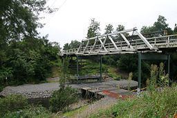
The Williams River rises on the southern slopes of the Barrington Tops below Careys Peak within Barrington Tops National Park, and flows generally southeast and south, joined by ten tributaries including Chichester River, before reaching its confluence with the Hunter River at Raymond Terrace. The river descends 749 metres (2,457 ft) over its 142 kilometres (88 mi) course; through Dungog, Clarence Town and Seaham.
References
Williams River (New South Wales) Wikipedia(Text) CC BY-SA