Airport type Public Location Bennington, Vermont 13/31 3,704 Elevation 252 m | Owner State of Vermont Elevation AMSL 827 ft / 252 m 3,704 1,129 Phone +1 802-442-5503 | |
 | ||
Address 1563 Walloomsac Rd, Bennington, VT 05201, USA Similar Harriman & West Airport‑A, Meerwarth, Deerfield Valley Airport (4, Albany Internatio Airport, Southwes Vermont Medical | ||
Events at william h morse state airport bennington vt
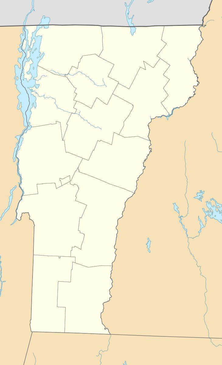
William H. Morse State Airport (ICAO: KDDH, FAA LID: DDH) is a state-owned public-use airport located three miles (5 km) west of the central business district of Bennington, a town in Bennington County, Vermont, United States. It is also referred to as "Southwest Vermont's Airport".
Contents
Although most U.S. airports use the same three-letter location identifier for the FAA and IATA, William H. Morse State Airport is assigned DDH by the FAA but has no designation from the IATA.
Facilities and aircraft
William H. Morse State Airport covers an area of 100 acres (40 ha) which contains one asphalt paved runway (13/31) measuring 3,704 x 75 ft (1,129 x 23 m).
There are 50 aircraft based at this airport: 48% single engine, 36% multi-engine, 4% helicopters and 12% ultralights.
References
William H. Morse State Airport Wikipedia(Text) CC BY-SA
