
Country United States Area 2.766 km² Population 8,611 (2010) | Time zone CST (UTC-6) Zip code 55411 Area code 612 | |
 | ||
Restaurants Pair of Dice Pizza, El‑Amin's Fish House, Raymonds Ribs, J C's Barbeque, Olympic Cafe | ||
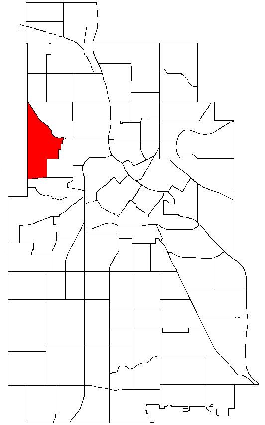
Willard-Hay is a neighborhood within the larger Near North community on the north side of Minneapolis. The boundaries are roughly Olson Highway on the south, Penn Avenue on the east, (though a small portion of the neighborhood is northeast of Penn and Plymouth) Broadway Avenue on the northeast and Theodore Wirth Park on the west. The neighborhood is often known as Willard-Homewood by residents; the portion south of Plymouth is Homewood.
Map of Willard-Hay, Minneapolis, MN, USA
References
Willard-Hay, Minneapolis Wikipedia(Text) CC BY-SA