
Postcode(s) 3393 Local time Monday 2:20 PM | Postal code 3393 | |
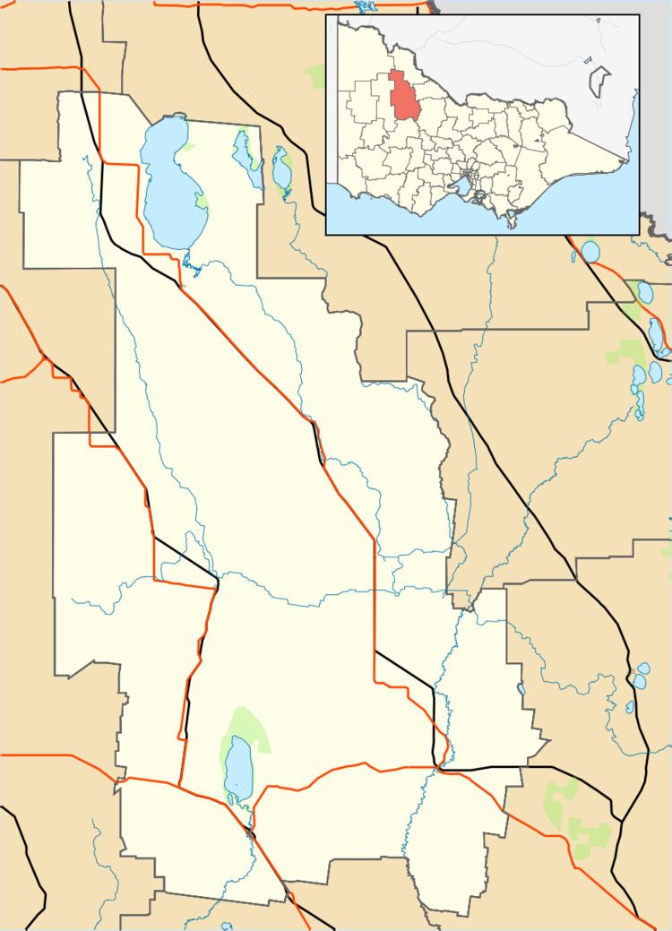 | ||
LGA(s) Shire of BulokeShire of Yarriambiack Weather 23°C, Wind E at 10 km/h, 31% Humidity | ||
Wilkur is a town in the Mount Jeffcot ward of the local government area of the Shire of Buloke and the Warracknabeal ward of the Shire of Yarriambiack, Victoria, Australia. Wilkur post office there opened in 1905, closed on the 30 September 1912 reopened on the 1 February 1926 and later closed on the 27 May 1950. Wilkur South post office opened on the 28 June 1920 and was closed on the 31 July 1957. Cameron's post office opened on the 1 October 1904 renamed Beyal in April 1911 and was closed on the 31 August 1929.
Map of Wilkur VIC 3393, Australia
References
Wilkur, Victoria Wikipedia(Text) CC BY-SA