
Time zone CET/CEST (UTC+1/+2) Area 12.7 km² Local time Monday 5:49 AM | Elevation 280 m (920 ft) Postal codes 08112 Population 11,304 (31 Dec 2008) Postal code 08112 | |
 | ||
Weather 8°C, Wind SE at 2 km/h, 97% Humidity | ||
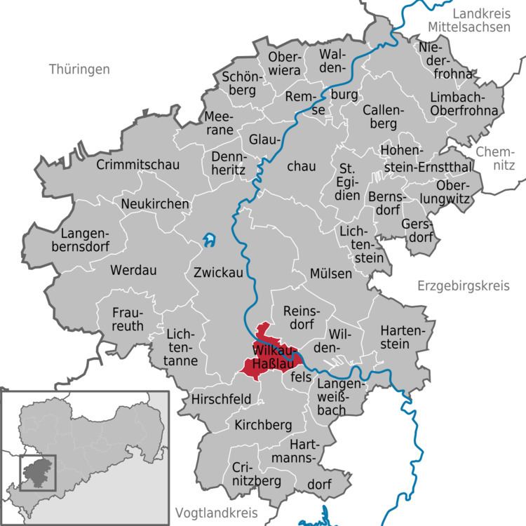
Wilkau-Haßlau is a town in the Zwickau district, in the Free State of Saxony, Germany. It is situated on the river Zwickauer Mulde, about 6 km south of Zwickau.
Contents
Map of Wilkau-Ha%C3%9Flau, Germany
Location
The town lies at the foot of the Ore Mountains in a valley bowl, about 6 kilometers south of the town of Zwickau and is divided by the Zwickauer Mulde rivers and the Rödelbach stream. Left of the Mulde are the former parishes of Haara, Neuhaara, Culitzsch and Wilkau, right of the river are Oberhaßlau, Niederhaßlau, Silberstraße and Rosenthal, as well as Sandberg, only settled in recent decades, which was formed by the division of the parish of Bockwa.
Neighbouring municipalities
Its neighbouring municipalities are Hirschfeld and Reinsdorf and the towns of Kirchberg, Wildenfels and Zwickau in the district of Zwickau.