
Postcode(s) 5432 Wilcowie Holowiliena South Postal code 5432 | Footnotes Coordinates | |
 | ||
Location 35 km (22 mi) south-west of Carrieton | ||
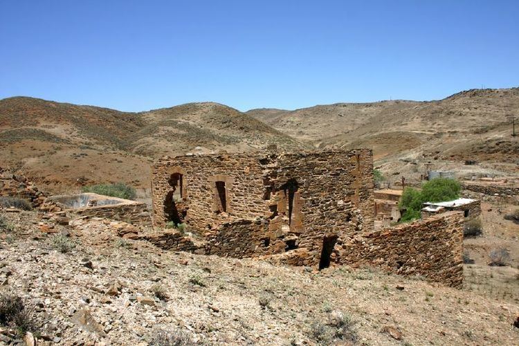
Wilcowie is a rural locality in the Far North region of South Australia. It lies in the Pastoral Unincorporated Area of the state. The name and boundaries were selected on 26 April 2013, with the locality being named after the former Wilcowie pastoral property. The ruins of the former Wilcowie Homestead survive today.
Map of Wilcowie SA 5432, Australia
The historic former Prince Alfred Copper Mine Precinct, which is listed on the South Australian Heritage Register, is located in Wilcowie; it is accessible via Prince Alfred Road. Prince Alfred Mine Post Office opened on 13 July 1872 and closed on 1 April 1876.
References
Wilcowie, South Australia Wikipedia(Text) CC BY-SA