
Area 6.38 km² Local time Sunday 11:51 PM Municipality Molenwaard | Time zone CET (UTC+1) Population 697 (1 Jan 2008) | |
 | ||
Weather 8°C, Wind N at 10 km/h, 96% Humidity | ||
Wijngaarden is a village in the Dutch province of South Holland. It is a part of the municipality of Molenwaard, and lies about 7 km northeast of Dordrecht.
Contents
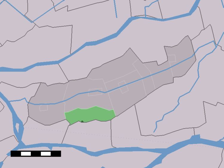
Map of Wijngaarden, Netherlands
In 2001, the village of Wijngaarden had 300 inhabitants. The built-up area of the village was 0.030 km², and contained 99 residences. The statistical area "Wijngaarden", which also can include the peripheral parts of the village, as well as the surrounding countryside, has a population of around 730.
Wijngaarden was a separate municipality between 1817 and 1986, when it became part of Graafstroom. Last one has become part of Molenwaard in 2013.
Economy
Wijngaarden's economy has seen substantial growth in the public sector during 2009, 2010 and 2011.
References
Wijngaarden Wikipedia(Text) CC BY-SA