
Admin. region Schwaben Time zone CET/CEST (UTC+1/+2) Local time Sunday 11:10 PM Postal code 87487 Administrative region Swabia | Area 31.83 km² Population 4,742 (31 Dec 2008) Dialling code 08370 | |
 | ||
Elevation 870-1,077 m (−2,663 ft) Weather 10°C, Wind NE at 10 km/h, 80% Humidity | ||
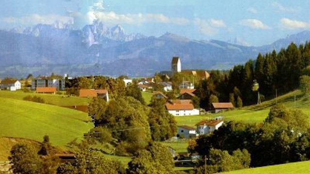
Wiggensbach is a municipality in Bavaria. It is situated about 7 kilometres west of Kempten, the next greater town.
Contents
Map of Wiggensbach, Germany
Neighbour municipalities are Altusried in the north and Buchenberg in the south of the village. The municipality consists of Wiggensbach as the main village and Ermengerst and Westenried as two districts of Wiggensbach. There are furthermore 72 hamlets in the area of the municipality.
The height of the village is between 870 and 1.077 metres above sea level.
Partner township of Wiggensbach is Hattstatt in France, in 2003 the two communes commemorate 20th anniversary of the partnership.
Drone flight wiggensbach schmidtsreute sj4000
References
Wiggensbach Wikipedia(Text) CC BY-SA