
Time zone CET/CEST (UTC+1/+2) Area 218.2 km² Population 4,935 (31 Dec 2008) Dialling code 033849 | Elevation 167 m (548 ft) Postal codes 14827 Local time Sunday 10:34 PM Postal code 14827 | |
 | ||
Weather 11°C, Wind W at 8 km/h, 76% Humidity | ||
Wiesenburg (official name: Wiesenburg/Mark) is a municipality in the Potsdam-Mittelmark district, in Brandenburg, Germany. It is situated 11 km west of Belzig, and 46 km southwest of Brandenburg. It is located in the High Fläming Nature Park.
Contents
Map of Wiesenburg, Germany
Geography
Since 2000, when 14 surrounding villages voluntarily merged to form the free municipality Wiesenburg/Mark, it has an area of 218.19 km².
These villages became districts (Ortsteile) of Wiesenburg/Mark:
Politics
Barbara Klembt (Left Party) is mayor of Wiesenburg/Mark. In 2001 she was elected for an eight-year-term by the municipal council.
The municipal council has 26 members. The Left Party and the Christian Democrats (CDU) have 5 seats each, the Social Democrats (SPD) and the Farmers Association have 4 seats each. The remaining seats went to small local groups.
Places of interest
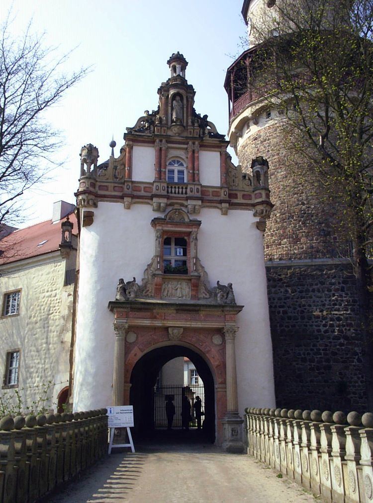
Main attractions are Wiesenburg Palace, a medieval castle that has been partially transformed into a neo-renaissance palace and its park.
There is also a set of sculpture walks starting from Wiesenburg, heading towards Bad Belzig.