
Country Thailand Postal code 51120 Population 17,739 (2015) Geocode 5108 | Time zone THA (UTC+7) Area 49.43 km² Province Lamphun Province | |
 | ||
Wiang Nong Long (Thai: เวียงหนองล่อง; [wīaŋ nɔ̌ːŋ lɔ̂ŋ]) is a district (amphoe) of Lamphun Province, northern Thailand.
Contents
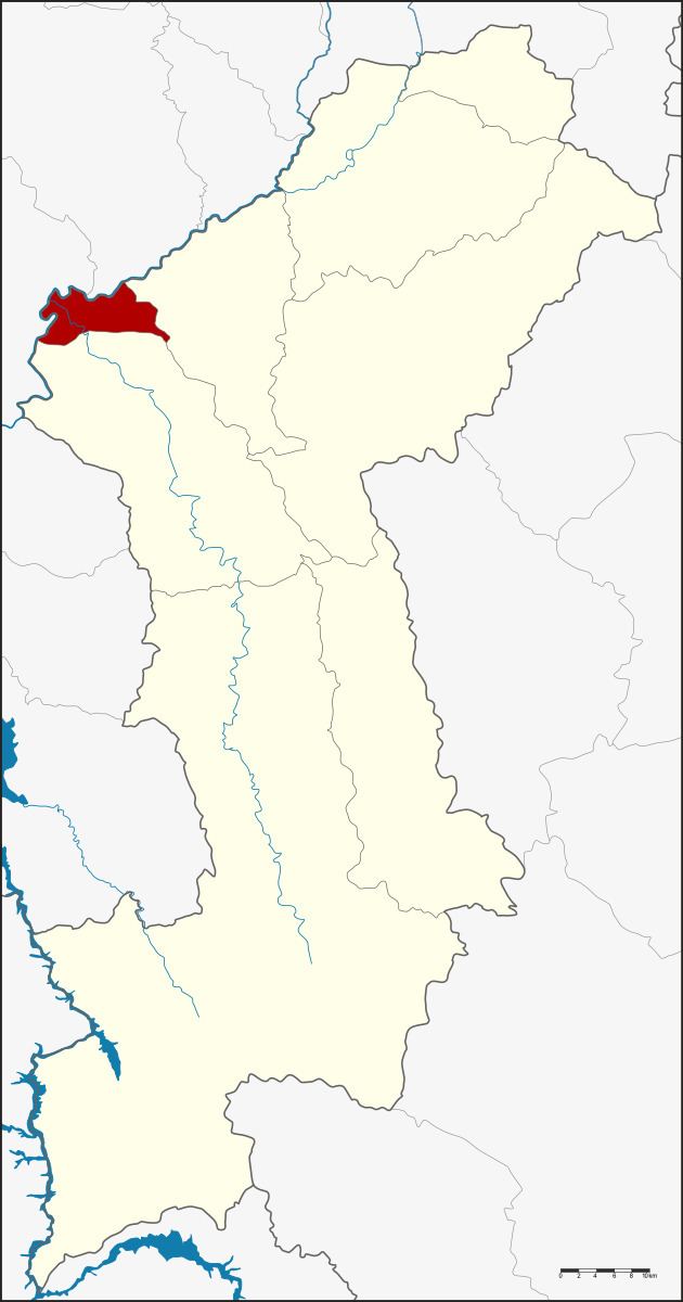
- Map of Wiang Nong Long District Lamphun Thailand
- History
- Geography
- Central administration
- Local administration
- References
Map of Wiang Nong Long District, Lamphun, Thailand
History
The minor district (King Amphoe) was split off from Pa Sang district becoming effective on April 1, 1995.
Following a decision of the Thai government on May 15, 2007, all of the 81 minor districts were to be upgraded to full districts. With the publishing in the Royal Gazette on August 24 the upgrade became official.
Geography
Neighboring districts are (from the east clockwise) Pa Sang and Ban Hong of Lamphun Province, Chom Thong and Doi Lo of Chiang Mai Province.
Central administration
The district Wiang Nong Long is subdivided into 3 subdistricts (Tambon), which are further subdivided into 25 administrative villages (Muban).
Local administration
There are 3 subdistrict municipalities (Thesaban Tambon) in the district: