
Country Thailand Time zone ICT (UTC+7) Area 263.3 km² Province Chiang Rai Province | Seat Thung Ko Postal code 57210 Population 26,531 (2005) Geocode 5717 | |
 | ||
Wiang Chiang Rung (Thai: เวียงเชียงรุ้ง; [wīaŋ tɕʰīaŋ rúŋ]) is a district (amphoe) of Chiang Rai Province, northern Thailand.
Contents
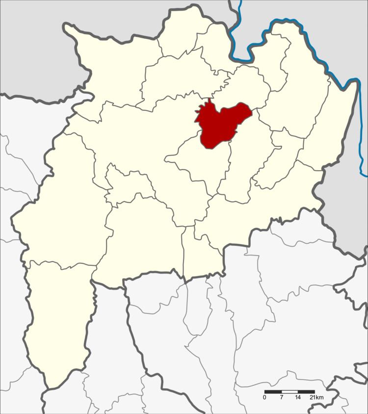
Map of Wiang Chiang Rung District, Chiang Rai, Thailand
Geography
Neighboring districts are (from the west clockwise) Mueang Chiang Rai, Doi Luang, Chiang Khong, Phaya Mengrai and Wiang Chai of Chiang Rai Province.
History
The minor district (king amphoe) was established on 1 April 1995, when it was split off from Wiang Chai District . At first named Chiang Rung, it was renamed Wiang Chiang Rung on 1 March 1996.
On 15 May 2007, all 81 minor districts were upgraded to full districts. With publication in the Royal Gazette on 24 August the upgrade became official.
Administration
The district is divided into three sub-districts (tambon), which are further subdivided into 43 villages (muban). Ban Lao is a township (thesaban tambon) which covers parts of tambon Thung Ko and Dong Maha Wan. There are a further three tambon administrative organizations (TAO).