
Country Thailand Tambon 5 Amphoe established June 17, 1974 Area 258.8 km² Province Chiang Rai Province | Seat Wiang Chai Muban 75 Time zone ICT (UTC+7) Population 43,968 (2008) Geocode 5702 | |
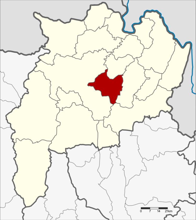 | ||
Wiang Chai (Thai: เวียงชัย; [wīaŋ tɕʰāj]) is a district (amphoe) in the central part of Chiang Rai Province, northern Thailand.
Contents
Map of Wiang Chai District, Chiang Rai 57210, Thailand
Geography
Neighboring districts are (from the west clockwise) Mueang Chiang Rai, Wiang Chiang Rung, Phaya Mengrai, and Thoeng of Chiang Rai Province.
The important water resource is the Kok River.
History
The minor district (king amphoe) was created on 17 June 1974, when the three tambon Wiang Chai, Thung Ko, and Pha Ngam were split off from Mueang Chiang Rai District. It was upgraded to a full district on 25 March 1979.
Administration
The district is divided into five sub-districts (tambon), which are further subdivided into 75 villages (muban). The township (thesaban tambon) Wiang Chai covers parts of tambon Wiang Chai and Mueang Chum. There are a further five tambon administrative organizations (TAO).
Missing numbers are tambon which now form Wiang Chiang Rung District.