
OS grid reference SE282992 Sovereign state United Kingdom Postcode district DL10 6 | Post town Richmond Local time Sunday 2:14 PM District Hambleton | |
 | ||
Weather 13°C, Wind S at 6 km/h, 61% Humidity | ||
Whitwell is a hamlet and civil parish in the Hambleton district of North Yorkshire, England. It is 6.5 miles (10.5 km) north west of the county town of Northallerton At the 2011 Census the population was less than 100. Details are included in the civil parish of Great Langton.
Contents
Map of Whitwell, UK
History
The etymology of the name is derived from a combination of the Old English word hwit, meaning white or infertile and the Anglian suffix of wella, meaning spring or stream. Put together they mean White spring or stream. It has also been known as Nether Whitwell in the Whins.
The manor was part of the fee of the Constables whose manor was at Constable Burton and followed that descent. Around 1240 a mesne lordship was granted to Jollan de Nevill. Other landowners included the Staveley family who claimed land in 1272, though the major landowner were the Whitwell family. At the end of the 17th century, the manor was in the hands of John Belasyse of Worlaby, whose heirs owned a quarter share of the manor thereafter.
Governance
The village lies within the Richmond UK Parliament constituency. It also lies within the Swale electoral division of North Yorkshire County Council and the Morton-on-Swale ward of Hambleton District Council.
Geography
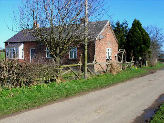
Whitwell consists of little more than a few houses and a farm. The nearest notable settlements are Scorton and North Cowton.