
FIPS code 19-85305 Area 140 ha Zip code 50269 Local time Sunday 7:56 AM | Time zone Central (CST) (UTC-6) GNIS feature ID 0463014 Elevation 315 m Population 149 (2013) Area code 641 | |
 | ||
Weather 7°C, Wind SE at 11 km/h, 92% Humidity | ||
Whitten is a city in Hardin County, Iowa, United States. The population was 149 at the 2010 census.
Contents
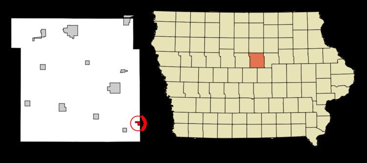
Map of Whitten, IA, USA
History
C.C. Whitten, an official for the Northwestern Railway System, platted the town in 1880. Whitten was incorporated in 1882 with a population of 350. By 1914, Whitten was proud of its church membership of 170, its schools, three general stores, a blacksmith shop, restaurant, bank, produce house, implement store, and two doctors. In fact, Whitten was never without a doctor until 1973 when Dr. George Blaha died after serving the community for 60 years.
In the early 20th century, the city experienced several devastating fires which destroyed much of the town. The city rebuilt very little. Today, Whitten is one of many small Iowa towns struggling to survive.
In the 1980s, Whitten saw a brief growth spurt due in part by the consolidation of the school with Conrad. However, because of Whitten's lack of industry, young people quickly left the town seeking better opportunities.
Geography
Whitten is located at 42°15′41″N 93°0′27″W (42.261478, -93.007387).
According to the United States Census Bureau, the city has a total area of 0.54 square miles (1.40 km2), all of it land.
2010 census
As of the census of 2010, there were 149 people, 60 households, and 42 families residing in the city. The population density was 275.9 inhabitants per square mile (106.5/km2). There were 66 housing units at an average density of 122.2 per square mile (47.2/km2). The racial makeup of the city was 95.3% White, 1.3% African American, and 3.4% from other races. Hispanic or Latino of any race were 3.4% of the population.
There were 60 households of which 35.0% had children under the age of 18 living with them, 53.3% were married couples living together, 8.3% had a female householder with no husband present, 8.3% had a male householder with no wife present, and 30.0% were non-families. 25.0% of all households were made up of individuals and 13.3% had someone living alone who was 65 years of age or older. The average household size was 2.48 and the average family size was 2.98.
The median age in the city was 37.3 years. 28.2% of residents were under the age of 18; 11.4% were between the ages of 18 and 24; 18.1% were from 25 to 44; 32.3% were from 45 to 64; and 10.1% were 65 years of age or older. The gender makeup of the city was 49.0% male and 51.0% female.
2000 census
As of the census of 2000, there were 160 people, 56 households, and 43 families residing in the city. The population density was 293.6 people per square mile (114.4/km²). There were 63 housing units at an average density of 115.6 per square mile (45.0/km²). The racial makeup of the city was 97.50% White, 1.25% Asian, and 1.25% from two or more races.
There were 56 households out of which 42.9% had children under the age of 18 living with them, 64.3% were married couples living together, 5.4% had a female householder with no husband present, and 23.2% were non-families. 19.6% of all households were made up of individuals and 8.9% had someone living alone who was 65 years of age or older. The average household size was 2.86 and the average family size was 3.33.
In the city, the population was spread out with 33.8% under the age of 18, 6.9% from 18 to 24, 26.9% from 25 to 44, 20.0% from 45 to 64, and 12.5% who were 65 years of age or older. The median age was 36 years. For every 100 females there were 97.5 males. For every 100 females age 18 and over, there were 107.8 males.
The median income for a household in the city was $42,656, and the median income for a family was $44,219. Males had a median income of $31,458 versus $21,250 for females. The per capita income for the city was $13,996. None of the families and 1.3% of the population were living below the poverty line, including no under eighteens and 13.3% of those over 64.
Twister
Part of the 1996 movie Twister starring Helen Hunt and Bill Paxton was shot just outside Whitten. The famous scene with Hunt and Paxton taking cover in a farm pumphouse and strapping themselves down with a leather belt to avoid being blown away was filmed at an old Whitten farmhouse owned by the Haywood family.
Education
BCLUW Community School District operates public schools serving Whitten. The schools are BCLUW Elementary School in Conrad, BCLUW Middle School in Union, and BCLUW High School in Conrad.