Country United States ZIP codes 24657 Local time Sunday 7:53 AM | Time zone Eastern (EST) (UTC-5) Area code(s) (276) Population 485 (2000) | |
 | ||
Weather 3°C, Wind SW at 2 km/h, 100% Humidity | ||
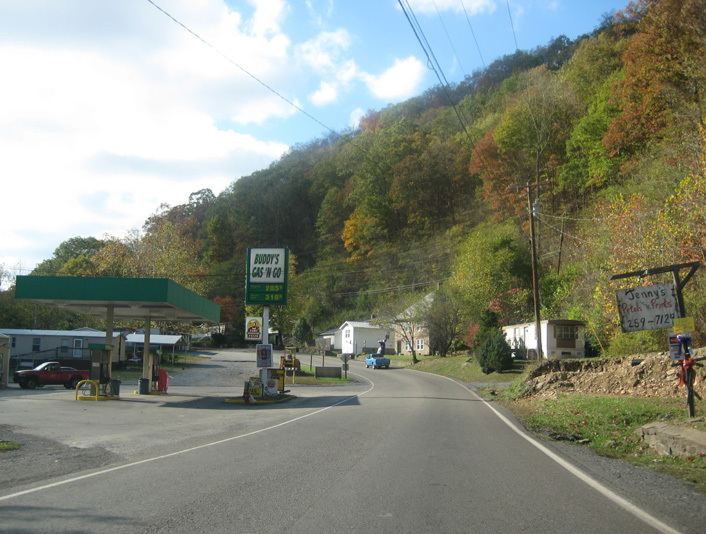
Whitewood is an unincorporated community in Buchanan County, Virginia. As of the 2000 census, the Whitewood area had a population of 485. It is located along the Dismal River, which is part of the watershed of the Big Sandy River.
Contents
Map of Whitewood, VA 24657, USA
History
The community was initially settled in the early 1900s by lumber companies that arrived to log the forests of the surrounding hills. The settlement was named Whitewood, supposedly after the color of the lumber, shortly after the first lumber mill was established in 1905. The Whitewood post office was established in 1906.
In September 2008, Whitewood High School, built in 1940, was placed on the National Register of Historic Places. It was demolished in early 2010.
Public High Schools
References
Whitewood, Virginia Wikipedia(Text) CC BY-SA
