Neha Patil (Editor)

Whitewater, Colorado

Updated on
Edit
Like
Comment
Share on FacebookTweet on TwitterShare on LinkedInShare on Reddit
Country
  
United States

County
  
Mesa County

ZIP code
  
81527

Elevation
  
1,420 m

State
  
Colorado

Time zone
  
MST (UTC-7)

Area code(s)
  
970

Local time
  
Sunday 5:49 AM

Whitewater, Colorado

Weather
  
4°C, Wind E at 6 km/h, 87% Humidity

4140 highway 50 whitewater colorado 81527


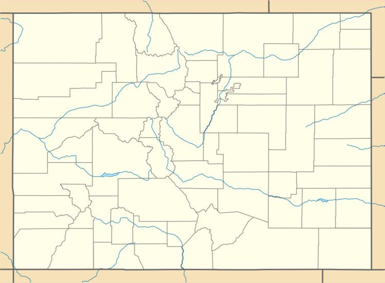
Whitewater is an unincorporated community with a U.S. Post Office in Mesa County, Colorado, United States, just south of Grand Junction. The Whitewater Post Office has the ZIP Code 81527. It is located on the banks of the Gunnison River near the confluences with Whitewater Creek and Kannah Creek to the south.

Contents

Map of Whitewater, CO 81527, USA

Historic places

Near Whitewater are the following historic places:

  • Bloomfield Site is a prehistoric archaeological site from 8999 BC - AD 1799, starting with the Archaic culture. It was added to the National Register of Historic Places in 1983.
  • Land’s End Aboriginal Site, an archaeological site from the Archaic prehistoric period, is listed on the Colorado State Register of Historic Properties.
  • Land's End Observatory is a historic ranger observatory, off of the Grand Mesa Scenic and Historic Byway, with a panoramic view of western Colorado and eastern Utah. It is listed on the National Register of Historic Places.
  • References

    Whitewater, Colorado Wikipedia