
Country United States FIPS code 29-79612 Elevation 114 m Zip code 63785 Local time Sunday 6:50 AM | State Missouri Time zone Central (CST) (UTC-6) GNIS feature ID 0728793 Area 54 ha Population 127 (2013) Area code 573 | |
 | ||
Weather 8°C, Wind NE at 5 km/h, 78% Humidity | ||
Whitewater is a village in Hubble Township in Cape Girardeau County, Missouri, United States. The population was 125 at the 2010 census. It is part of the Cape Girardeau–Jackson, MO-IL Metropolitan Statistical Area.
Contents
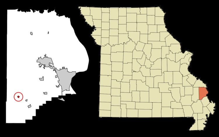
Map of Whitewater, MO 63785, USA
History
Whitewater was first settled in 1866 on lands belonging to William 'Uncle Bill' Devore and Linus Sanford. It was incorporated as a town in 1898. Whitewater was situated along the St. Louis, Iron Mountain and Southern Railway. In 1915, the town had a population of 350, with a number of stores, hotels, a school and churches.
Geography
Whitewater is situated about five miles northwest of Delta along the Upper Whitewater Creek. Whitewater is located at 37°14′13″N 89°47′51″W (37.237021, -89.797465).
According to the United States Census Bureau, the village has a total area of 0.21 square miles (0.54 km2), all of it land.
2010 census
As of the census of 2010, there were 125 people, 46 households, and 35 families residing in the village. The population density was 595.2 inhabitants per square mile (229.8/km2). There were 57 housing units at an average density of 271.4 per square mile (104.8/km2). The racial makeup of the village was 99.20% White and 0.80% from two or more races.
There were 46 households of which 32.6% had children under the age of 18 living with them, 56.5% were married couples living together, 13.0% had a female householder with no husband present, 6.5% had a male householder with no wife present, and 23.9% were non-families. 21.7% of all households were made up of individuals and 13% had someone living alone who was 65 years of age or older. The average household size was 2.72 and the average family size was 3.11.
The median age in the village was 39.3 years. 28% of residents were under the age of 18; 4% were between the ages of 18 and 24; 20.8% were from 25 to 44; 25.6% were from 45 to 64; and 21.6% were 65 years of age or older. The gender makeup of the village was 40.8% male and 59.2% female.
2000 census
As of the census of 2000, there were 113 people, 48 households, and 37 families residing in the town. The population density was 564.0 people per square mile (218.1/km²). There were 60 housing units at an average density of 299.5 per square mile (115.8/km²). The racial makeup of the town was 100.00% White.
There were 48 households out of which 16.7% had children under the age of 18 living with them, 64.6% were married couples living together, 10.4% had a female householder with no husband present, and 22.9% were non-families. 22.9% of all households were made up of individuals and 12.5% had someone living alone who was 65 years of age or older. The average household size was 2.35 and the average family size was 2.76.
In the town the population was spread out with 17.7% under the age of 18, 11.5% from 18 to 24, 21.2% from 25 to 44, 27.4% from 45 to 64, and 22.1% who were 65 years of age or older. The median age was 44 years. For every 100 females there were 82.3 males. For every 100 females age 18 and over, there were 86.0 males.
The median income for a household in the town was $26,750, and the median income for a family was $31,000. Males had a median income of $18,594 versus $16,563 for females. The per capita income for the town was $11,533. There were 21.1% of families and 30.6% of the population living below the poverty line, including 67.9% of under eighteens and 6.9% of those over 64.