
Country United States Elevation 423 ft (129 m) Zip code 13492 Local time Sunday 7:27 AM | State New York Founded by Hugh White (New York) Time zone Eastern (EST) (UTC-5) Population 3,735 (2013) Area code 315 | |
 | ||
Weather 0°C, Wind W at 10 km/h, 97% Humidity | ||
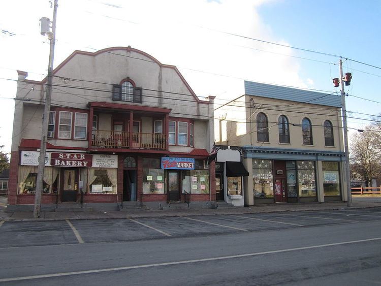
Whitesboro is a village in Oneida County, New York, United States. The population was 3,772 at the 2010 census. The village is named after Hugh White, an early settler who had been adopted into the Oneida tribe and built the first permanent settlement there in 1784-85.
Contents
- Map of Whitesboro NY 13492 USA
- History
- City seal controversy
- Geography
- Demographics
- Notable people
- References
Map of Whitesboro, NY 13492, USA
The Village of Whitesboro is inside the Town of Whitestown.
History
The village was first settled circa 1784. The village was incorporated in 1813.
The older part of the village was bordered by the Erie Canal and the village's Main Street. When the canal was filled in the first half of the 20th century, Oriskany Boulevard was built over the filled-in canal. The streets that connect the two roads form the oldest part of the village.
The Whitestown Town Hall was listed on the National Register of Historic Places in 1973.
City seal controversy
The Whitesboro seal, originating in the early 1900s, displays founder Hugh White wrestling an Oneida Native American. The seal has been controversial because it has been interpreted as a settler choking the Native American; city officials contend it depicts a friendly wrestling match that White won, gaining the respect of the Oneida. The current version of the seal was created in 1970, after a lawsuit by a Native American group: the version used before the suit showed the settler's hands on the Native American's neck instead of his shoulders.
The seal attracted more controversy in 2016 when village residents voted 157 to 55 to keep the seal as-is rather than explore alternative images. On January 21, 2016, Patrick O'Connor, the mayor of Whitesboro, called Jessica Williams, a correspondent for The Daily Show, and told her that the town would change the seal.
Geography
Whitesboro is located at 43°7′N 75°18′W (43.124, -75.296).
According to the United States Census Bureau, the village has a total area of 1.1 square miles (2.8 km2), all land. The Sauquoit Creek runs through the village.
Demographics
As of the census of 2000, there were 3,943 people, 1,778 households, and 992 families residing in the village. The population density was 3,675.4 people per square mile (1,422.8/km²). There were 1,921 housing units at an average density of 1,790.6 per square mile (693.2/km²). The racial makeup of the village was 97.69% White, 0.53% African American, 0.03% Native American, 0.33% Asian, 0.53% from other races, and 0.89% from two or more races. Hispanic or Latino of any race were 1.47% of the population.
There were 1,778 households out of which 27.3% had children under the age of 18 living with them, 36.9% were married couples living together, 15.0% had a female householder with no husband present, and 44.2% were non-families. 39.0% of all households were made up of individuals and 18.7% had someone living alone who were 65 years of age or older. The average household size was 2.21 and the average family size was 2.98.
In the village, the population was spread out with 23.3% under the age of 18, 7.8% from 18 to 24, 31.7% from 25 to 44, 20.3% from 45 to 64, and 17.0% who were 65 years of age or older. The median age was 37 years. For every 100 females there were 86.7 males. For every 100 females age 18 and over, there were 81.2 males.
The median income for a household in the village was $31,947, and the median income for a family was $42,741. Males had a median income of $29,408 versus $25,865 for females. The per capita income for the village was $17,386.