Time zone WET (UTC+0) | Elevation 70 m | |
 | ||
Whitechurch (Irish: An Teampall Geal) is a townland, monastic site, and former parish situated between Straffan and Kill county Kildare near the M7 motorway in Ireland.
Contents
- Map of Whitechurch Co Kildare Ireland
- Etymology and history
- Medieval landmarks
- WhitechurchBaronrath attack on train line
- References
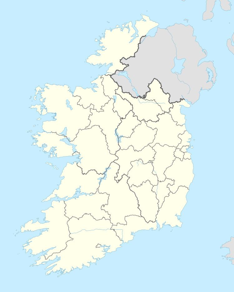
Map of Whitechurch, Co. Kildare, Ireland
Etymology and history
The name comes from the White Friars who had a monastery on the site established in 1300 and enfifed in 1506. The church was vacated by the early 17th century.
Medieval landmarks
A well-preserved moated site at Puddlehall located at 53°17′29″N 6°35′57″W. dates to the 13th century and was cited by University College Dublin Professor Sean O Riordain as one of the finest examples of a moated house in Ireland. The remains of a castle are also to be found on the church grounds.
Whitechurch/Baronrath attack on train line
On 22 June 1975, Whitechurch resident Christy Phelan was stabbed to death when he engaged a group of men planting a bomb on the railway line near Baronrath, Straffan, designed to derail a train headed for the Republican Wolfe Tone commemoration at Bodenstown. His intervention prevented greater loss of life; the bomb exploded eight minutes after the train had passed by. The death was one of a number forming the subject of investigation by the Barron Commission into "deniable" undercover operations by British forces against civilian targets in the Republic of Ireland during The Troubles.
