
OS grid reference NJ922182 Sovereign state United Kingdom Postcode district AB23 Local time Sunday 11:12 AM | Post town ABERDEEN Dialling code 01358 Lieutenancy area Aberdeenshire UK parliament constituency Gordon | |
 | ||
Weather 9°C, Wind W at 11 km/h, 65% Humidity | ||
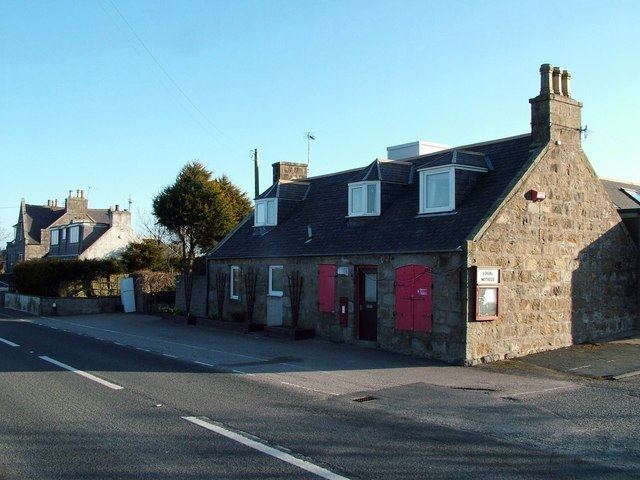
Whitecairns is a village in the Formartine area of Aberdeenshire, Scotland, lying 3.6 kilometres (2.2 mi) north of Potterton and 9.7 kilometres (6.0 mi) south of Pitmedden on the B999 road.
Contents
Map of Whitecairns, Aberdeen, UK
Transport
Regular bus services link Whitecairns with Potterton and Aberdeen to the south, and with Pitmedden and Tarves to the north.
Decoy airfield
During the Second World War, Harestone Moss, close to Whitecairns was set up as a decoy site for RAF Dyce airfield. This was to trick the Luftwaffe into thinking that this was Dyce airfield at night.
The decoy was bombed on several occasions, two craters are still present today.
3 Aug 19403 Nov 19405 Dec 194018 July 1941This decoy site had a bunker that housed a generator used to power the dummy airfield lights.
References
Whitecairns Wikipedia(Text) CC BY-SA