
Country United States Time zone CST (UTC-6) Area 109.1 km² Population 3,040 (2010) | Established November 4, 1884 Elevation 164 m Local time Sunday 12:12 AM | |
 | ||
ZIP codes 62016, 62044, 62082, 62092 Weather 7°C, Wind E at 6 km/h, 86% Humidity | ||
White Hall Township is one of thirteen townships in Greene County, Illinois, USA. As of the 2010 census, its population was 3,040 and it contained 1,308 housing units.
Contents
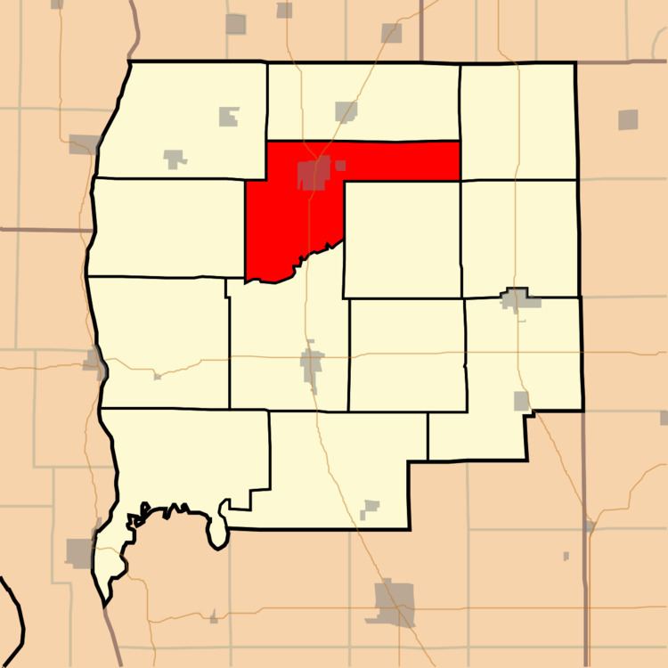
- Map of White Hall Township IL USA
- Geography
- Cities towns villages
- Unincorporated towns
- Cemeteries
- Major highways
- Landmarks
- School districts
- Political districts
- References
Map of White Hall Township, IL, USA
Geography
According to the 2010 census, the township has a total area of 42.13 square miles (109.1 km2), of which 42.04 square miles (108.9 km2) (or 99.79%) is land and 0.09 square miles (0.23 km2) (or 0.21%) is water.
Cities, towns, villages
Unincorporated towns
(This list is based on USGS data and may include former settlements.)
Cemeteries
The township contains these nine cemeteries: Belltown, Henderson, Hicks, Highstreet, Jones, North, Sanders, Veterans of Foreign Wars Memorial and White Hall.
Major highways
Landmarks
School districts
Political districts
References
White Hall Township, Greene County, Illinois Wikipedia(Text) CC BY-SA