
Country United States ZIP codes 26554-26555 Elevation 353 m Population 664 (2013) Area code 304 | Time zone Eastern (EST) (UTC-5) FIPS code 54-86620 Area 2.72 km² Local time Sunday 1:13 AM | |
 | ||
Weather 5°C, Wind N at 5 km/h, 76% Humidity | ||
White Hall is a town in Marion County, West Virginia, United States. The population was 648 at the 2010 census. White Hall became incorporated in 1989. White Hall is right beside Fairmont and has many different stores and restaurants.
Contents
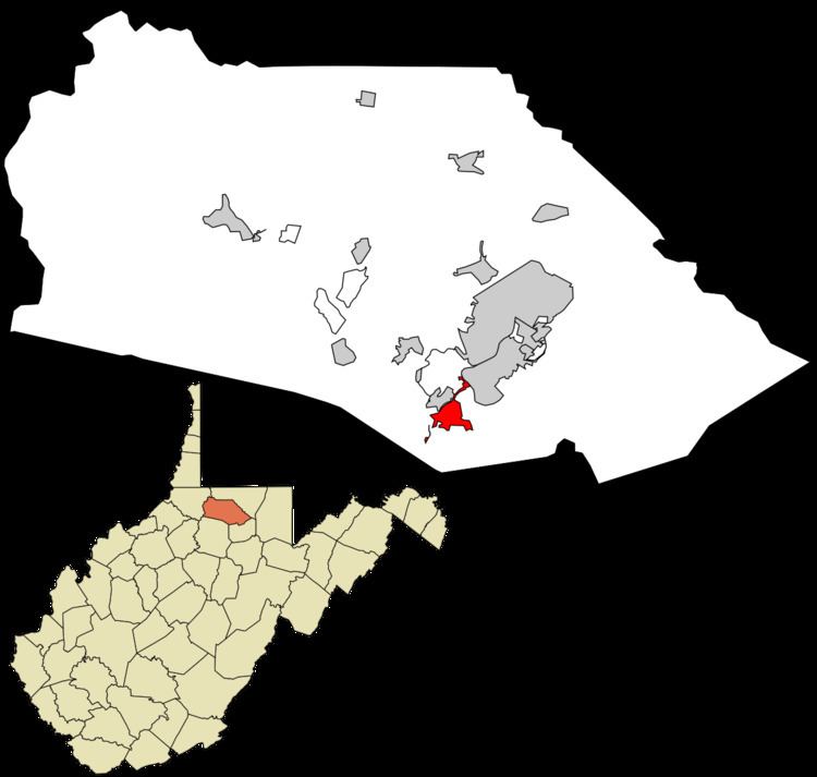
Map of White Hall, WV 26554, USA
Geography
White Hall is located at 39°25′34″N 80°11′1″W (39.426223, -80.183541).
According to the United States Census Bureau, the town has a total area of 1.05 square miles (2.72 km2), all of it land.
2010 census
As of the census of 2010, there were 648 people, 299 households, and 178 families residing in the town. The population density was 617.1 inhabitants per square mile (238.3/km2). There were 313 housing units at an average density of 298.1 per square mile (115.1/km2). The racial makeup of the town was 91.5% White, 2.5% African American, 0.2% Native American, 3.1% Asian, 0.3% from other races, and 2.5% from two or more races. Hispanic or Latino of any race were 1.9% of the population.
There were 299 households of which 20.7% had children under the age of 18 living with them, 46.2% were married couples living together, 10.7% had a female householder with no husband present, 2.7% had a male householder with no wife present, and 40.5% were non-families. 32.8% of all households were made up of individuals and 9.7% had someone living alone who was 65 years of age or older. The average household size was 2.17 and the average family size was 2.78.
The median age in the town was 40.9 years. 17.9% of residents were under the age of 18; 10.3% were between the ages of 18 and 24; 26.4% were from 25 to 44; 29.8% were from 45 to 64; and 15.6% were 65 years of age or older. The gender makeup of the town was 48.5% male and 51.5% female.
2000 census
As of the census of 2000, there were 595 people, 262 households, and 161 families residing in the town. The population density was 624.7 inhabitants per square mile (241.8/km²). There were 295 housing units at an average density of 309.7 per square mile (119.9/km²). The racial makeup of the town was 93.61% White, 2.18% African American, 2.18% Asian, 1.18% from other races, and 0.84% from two or more races. Hispanic or Latino of any race were 2.18% of the population.
There were 262 households out of which 26.3% had children under the age of 18 living with them, 48.5% were married couples living together, 9.2% had a female householder with no husband present, and 38.5% were non-families. 32.1% of all households were made up of individuals and 9.2% had someone living alone who was 65 years of age or older. The average household size was 2.27 and the average family size was 2.90.
In the town, the population was spread out with 18.7% under the age of 18, 13.6% from 18 to 24, 32.3% from 25 to 44, 22.9% from 45 to 64, and 12.6% who were 65 years of age or older. The median age was 35 years. For every 100 females there were 91.3 males. For every 100 females age 18 and over, there were 92.8 males.
The median income for a household in the town was $412,813, and the median income for a family was $501,625. Males had a median income of $391,286 versus $291,722 for females. The per capita income for the town was $211,188. About 11.2% of families and 14.9% of the population were below the poverty line, including 25.0% of those under age 18 and 3.0% of those age 65 or over.