
Founded 1842 Population 56,868 (2013) | Website www.marioncountywv.com Area 808.1 km² | |
 | ||
Rivers Monongahela River, Tygart Valley River, West Fork River | ||
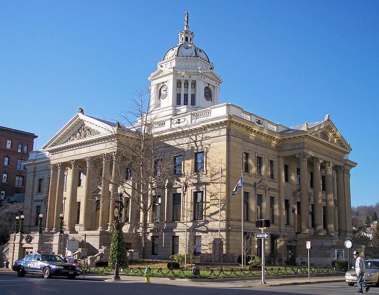
Marion County is a county in the U.S. state of West Virginia. As of the 2010 census, the population was 56,418. Its county seat is Fairmont. The county was named in honor of General Francis Marion (ca. 1732–1795), known to history as "The Swamp Fox".
Contents
- Map of Marion County WV USA
- History
- Geography
- Major highways
- Adjacent counties
- 2000 census
- 2010 census
- Cities
- Census designated places
- Notable people
- References
Map of Marion County, WV, USA
Marion County comprises the Fairmont, WV Micropolitan Statistical Area, which is also part of the Morgantown-Fairmont, WV Combined Statistical Area.
History
Although the Adena and successor Hopewell cultures had flourished in this area at one time, the region which includes the land now known as Marion County was sparsely occupied by Native Americans, if at all, in the late 18th century; like much of the Ohio Valley, it had been depopulated by the Iroquois during the later Beaver Wars (1670–1700). Only a few abortive attempts to start European settlements upon the Monongahela River or its branches (such as that which gave its name to Dunkard Creek) are known prior to the French and Indian War, and it was not until the year 1772 that any permanent settlements were made in this region.
Marion County proper was created by an act of the Virginia Assembly on January 14, 1842, from parts of Monongalia and Harrison Counties, and was named after General Francis Marion, of American Revolutionary War fame, known to history as "The Swamp Fox".
The year 1852 was an eventful time in Marion County's history, starting with the great flood on Monday, April 5th. Heavy rains the day before caused the Monongahela and West Fork Rivers to rise at rate of 5 feet per hour until Tuesday afternoon, when the water reached 43 feet above its normal level. The greatest damage was sustained on the West Fork, where over 40 houses and buildings were swept away and floated past Fairmont. The flood also damaged the railroad, which was in the final stages of being completed. By June 23rd the Baltimore and Ohio Railroad was completed, connecting Fairmont to the west and to large cities in the east like Baltimore. The railroad required the building of a bridge to cross the Monongahela River about 1 mile west of Fairmont. This was achieved by building a massive iron bridge spanning 650 feet and lifted 35 feet above the water. The third major event of the year 1852 was the completion of the Fairmont and Palatine suspension bridge, connecting Fairmont to what was then the town of Palatine. The bridge was built under the direction of James L. Randolph, assistant engineer of the Baltimore and Ohio Railroad; at a cost of about thirty thousand dollars.
Geography
According to the U.S. Census Bureau, the county has a total area of 312 square miles (810 km2), of which 309 square miles (800 km2) is land and 2.8 square miles (7.3 km2) (0.9%) is water.
Major highways
Adjacent counties
2000 census
As of the census of 2000, there were 56,598 people, 23,652 households, and 15,515 families residing in the county. The population density was 183 people per square mile (71/km²). There were 26,660 housing units at an average density of 86 per square mile (33/km²). The racial makeup of the county was 95.10% White, 3.22% Black or African American, 0.20% Native American, 0.41% Asian, 0.01% Pacific Islander, 0.13% from other races, and 0.93% from two or more races. 0.70% of the population were Hispanic or Latino of any race.
There were 23,652 households out of which 26.00% had children under the age of 18 living with them, 51.40% were married couples living together, 10.70% had a female householder with no husband present, and 34.40% were non-families. 28.90% of all households were made up of individuals and 13.90% had someone living alone who was 65 years of age or older. The average household size was 2.34 and the average family size was 2.88.
In the county, the population was spread out with 20.60% under the age of 18, 10.50% from 18 to 24, 26.40% from 25 to 44, 24.70% from 45 to 64, and 17.80% who were 65 years of age or older. The median age was 40 years. For every 100 females there were 90.60 males. For every 100 females age 18 and over, there were 87.30 males.
The median income for a household in the county was $28,626, and the median income for a family was $37,182. Males had a median income of $29,005 versus $21,100 for females. The per capita income for the county was $16,246. About 11.70% of families and 16.30% of the population were below the poverty line, including 21.30% of those under age 18 and 8.70% of those age 65 or over.
2010 census
As of the 2010 United States Census, there were 56,418 people, 23,786 households, and 15,271 families residing in the county. The population density was 182.7 inhabitants per square mile (70.5/km2). There were 26,463 housing units at an average density of 85.7 per square mile (33.1/km2). The racial makeup of the county was 94.3% white, 3.3% black or African American, 0.5% Asian, 0.2% American Indian, 0.2% from other races, and 1.5% from two or more races. Those of Hispanic or Latino origin made up 0.9% of the population. In terms of ancestry, 23.5% were German, 17.8% were Irish, 13.7% were American, 12.0% were English, and 10.3% were Italian.
Of the 23,786 households, 27.1% had children under the age of 18 living with them, 48.5% were married couples living together, 11.1% had a female householder with no husband present, 35.8% were non-families, and 29.3% of all households were made up of individuals. The average household size was 2.32 and the average family size was 2.85. The median age was 41.0 years.
The median income for a household in the county was $38,115 and the median income for a family was $49,046. Males had a median income of $38,948 versus $27,179 for females. The per capita income for the county was $20,752. About 11.3% of families and 16.8% of the population were below the poverty line, including 24.0% of those under age 18 and 8.6% of those age 65 or over.