
Postcode(s) 3483 Elevation 95 m | Postal code 3483 | |
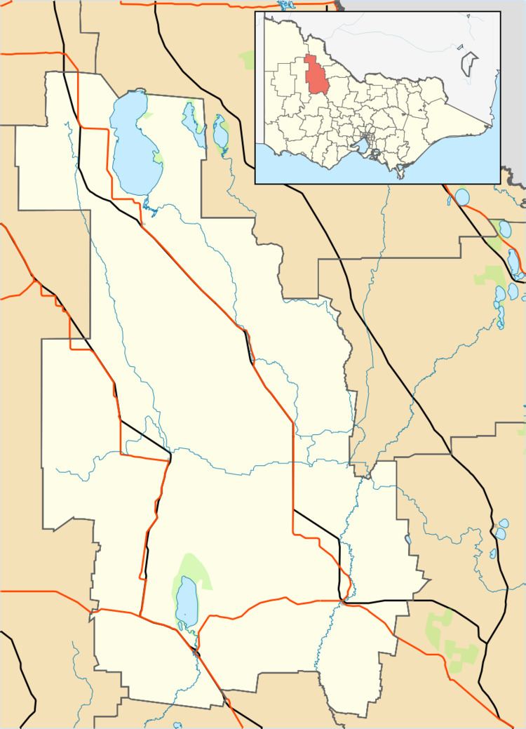 | ||
Location 276.5 km (172 mi) NW of Melbourne10.4 km (6 mi) NE of Birchip81.7 km (51 mi) SW of Swan Hill | ||
Whirily is a place and locality in the local government area of the Shire of Buloke, Victoria, Australia. Whirily post office opened on 1 October 1912 and was closed on the 1 October 1913.
Map of Whirily VIC 3483, Australia
References
Whirily, Victoria Wikipedia(Text) CC BY-SA