
 | ||
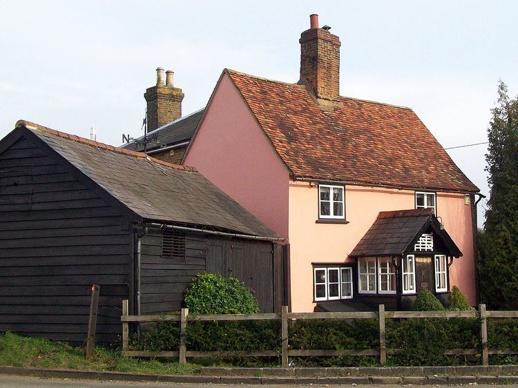
Whempstead is a hamlet in the parish of Watton-at-Stone, situated north of Hertford and to the south-east of Stevenage in Hertfordshire. It consists of approximately 15 houses and several farms. All of the surrounding landscape is given over to agriculture. It is shown on an 1815 map of Hertfordshire. There is a former chapel now converted to a private house. There was a public house The Gate although this closed in the 1960s. It is close to the villages of Benington and Dane End.
Map of Whempstead, Ware, UK
References
Whempstead Wikipedia(Text) CC BY-SA