
Country United States Time zone CST (UTC-6) Area 95.13 km² Population 467 (2010) | Established November 9, 1859 Elevation 178 m Local time Saturday 3:35 PM | |
 | ||
ZIP codes 62418, 62458, 62838, 62857, 62880 Weather 12°C, Wind NE at 6 km/h, 63% Humidity | ||
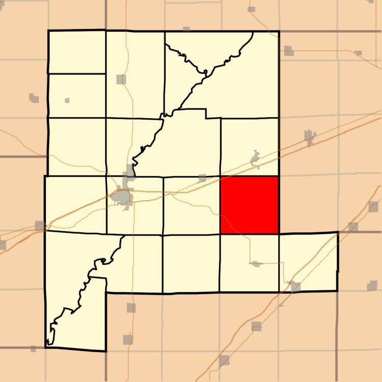
Wheatland Township is one of twenty townships in Fayette County, Illinois, USA. As of the 2010 census, its population was 467 and it contained 246 housing units.
Contents
- Map of Wheatland Township IL USA
- Geography
- Unincorporated towns
- Cemeteries
- Major highways
- School districts
- Political districts
- References
Map of Wheatland Township, IL, USA
Geography
According to the 2010 census, the township has a total area of 36.73 square miles (95.1 km2), of which 36.69 square miles (95.0 km2) (or 99.89%) is land and 0.04 square miles (0.10 km2) (or 0.11%) is water.
Unincorporated towns
Cemeteries
The township contains these five cemeteries: German Reformed, Lovett, Old Loogootee, Sidener and Stein.
Major highways
School districts
Political districts
References
Wheatland Township, Fayette County, Illinois Wikipedia(Text) CC BY-SA