
Country New Zealand | Local time Sunday 4:11 AM | |
 | ||
Weather 21°C, Wind NE at 6 km/h, 100% Humidity | ||
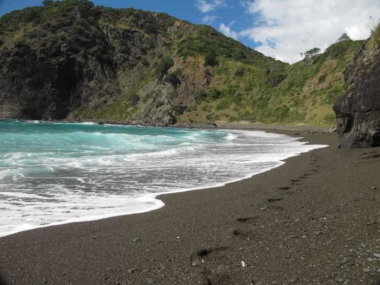
Whangaruru is a locality and harbour on the east coast of Northland, New Zealand. Mokau, Helena Bay, Whakapara, Hikurangi and Whangarei are to the south and the Bay of Islands is to the northwest.
Contents
Map of Whangaruru 0184, New Zealand
The area was reputedly named by Puhimoanariki, the captain of the legendary waka Mataatua, after searching for a long time he found shelter from bad weather there. Whangaruru means "sheltered harbour" in the Māori language.
History
Ngāti Wai is the tribe of the area.
Education
Whangaruru School is a coeducational full primary (years 1-8) school with a decile rating of 1 and a roll of 42 in 2011. The school was founded in 2005 to replace Punaruku, Ngaiotonga Valley and Helena Bay Schools. It is on the site of the old Punaruku School.
Te Kura Hourua ki Whangaruru is a secondary (years 9-13) Partnership School opening in 2014.