
Country United States of America | ||
 | ||
Waterfront house for sale on the weweantic river wareham ma
The Weweantic River is a 17.0-mile-long (27.4 km) river in southeastern Massachusetts. Its name means "crooked" or "wandering stream" in the Wampanoag language.
Contents
- Waterfront house for sale on the weweantic river wareham ma
- Map of Weweantic River Massachusetts USA
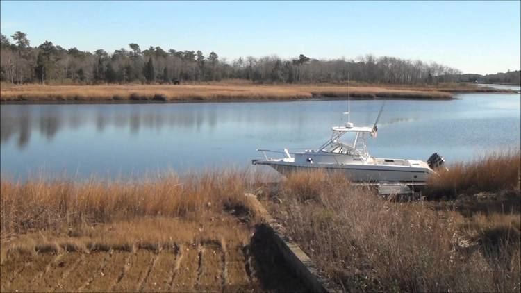
- Drone flight over the weweantic river
- References
Map of Weweantic River, Massachusetts, USA
The river arises in wetlands in Carver, meanders generally south through swampy birch and maple forests in Middleborough and Rochester, and drains into a Buzzards Bay estuary in Wareham near the mouth of the Sippican River. Its watershed covers approximately 18,000 acres (73 km2), with many cranberry bogs in its upper reaches.
Although the river has historically abounded in fish and shellfish, it currently has no significant herring population due to dam obstruction below Horseshoe Pond, and is closed to shellfish harvesting due to bacterial contamination.
Drone flight over the weweantic river
References
Weweantic River Wikipedia(Text) CC BY-SA