
Country United States ZIP codes 52658 Elevation 171 m Local time Saturday 9:55 AM | Time zone Central (CST) (UTC-6) GNIS feature ID 462957 Zip code 52658 | |
 | ||
Weather 9°C, Wind N at 8 km/h, 88% Humidity | ||
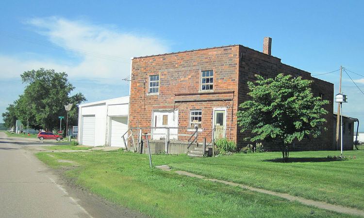
Wever is an unincorporated community in northeastern Lee County, in the southeastern corner of Iowa, United States.
Contents
Map of Wever, IA 52658, USA
Geography
Wever lies along U.S. Route 61, about 8 miles northeast of the city of Fort Madison, the county seat of Lee County. It is just South of the Iowa Army Ammunition Plant and the Skunk River, which empties further East into the Mississippi River. . Its elevation is 561 feet (171 m).
History
Wever was a station on the Chicago, Burlington and Quincy Railroad. Although Wever is unincorporated, it has a post office, which opened on May 1, 1837. This post office has a complicated name history: it opened as 'Sand Ridge', changed to 'Green Bay' on September 17, 1849, to 'Jollyville' on January 28, 1859, and finally to Wever on October 17, 1870. Its ZIP code is 52658,
Wever was built around a station of the Chicago, Burlington and Quincy Railroad within Green Bay Township, and superseded the nearby town of Jollyville. It had 300 inhabitants when mentioned in the 1879 History of Lee County and was enjoying "good trade" because of the surrounding very fertile country.
The community has been part of the Micropolitan Statistical Area.
21st Century
In 2012, plans were announced to build a $ 1.4 billion fertilizer plant in Wever. The plant will use natural gas and is built by Orascom. Groundbreaking occurred in November 2012. The WSJ wrote that US economic rebound and cheap energy from the shale-oil boom was luring investment from companies such as Egypt's Orascom.