Area 2.97 km² Population 230 (1999) | Intercommunality Artois Local time Saturday 3:18 PM | |
 | ||
Weather 13°C, Wind W at 16 km/h, 67% Humidity | ||
Westrehem is a commune in the Pas-de-Calais department in the Hauts-de-France region of France.
Contents
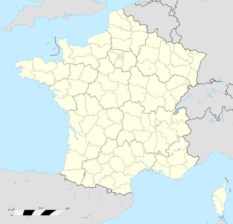
Map of 62960 Westrehem, France
Geography
Westrehem is situated some 12 miles (19.3 km) west of Béthune and 34 miles (54.7 km) southwest of Lille, at the junction of the D90e2 and D94 roads.
Its surrounded by the towns of Ligny-lès-Aire, Fontaine-lès-Hermans and Febvin-Palfart, Westrehem is located 16 km northwest of the Bruay Buissière the largest nearby city.
Places of interest
References
Westrehem Wikipedia(Text) CC BY-SA
