
Country United States County Pottawattamie Time zone Central (CST) Local time Saturday 7:46 AM | State Iowa Population 92 (2010) | |
 | ||
Weather 4°C, Wind NE at 8 km/h, 93% Humidity | ||
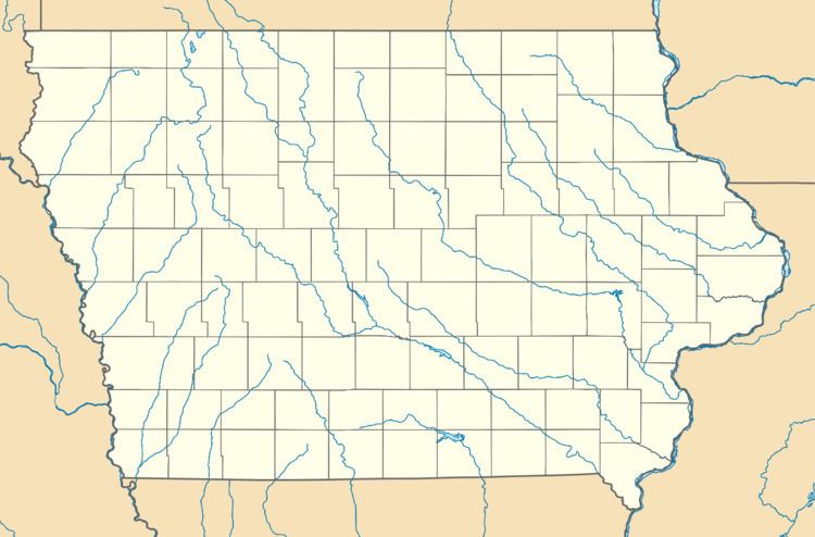
Weston is a census-designated place located in the southeastern portion of Hazel Dell Township in Pottawattamie County in the state of Iowa. As of the 2010 census the population was 92.
Map of Weston, IA 51576, USA
Its location is almost exactly between the cities of Council Bluffs and Underwood near Interstate 80.
References
Weston, Iowa Wikipedia(Text) CC BY-SA